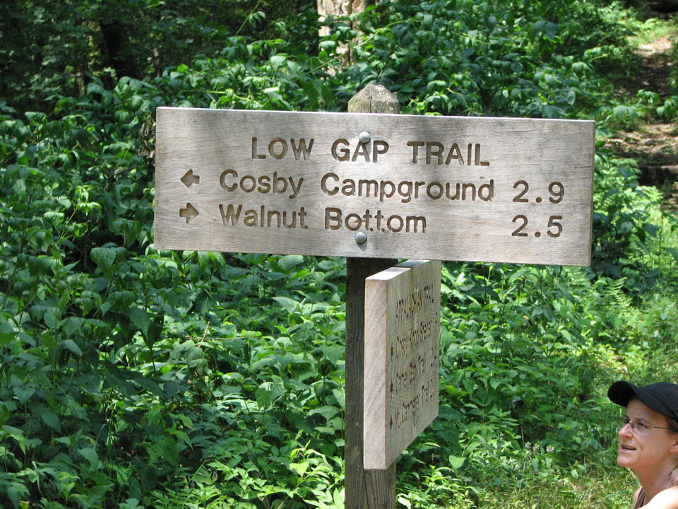
 Hikers will cross their share of streams and then some, as well as hike past Little Creek Falls, along the 6.1 mile Deeplow Gap Trail.
To reach this Smoky Mountain trail from the end of Deep Creek Road, hike 3.6 miles on Deep Creek and Indian Creek Trails. At the start, you’ll hike to the right past a bench along Indian Creek. You”ll pass George Branch by bridge at approximately 0.1 miles on the trail before coming to an old homestead at 0.2 miles in.
You soon ascend the trail with George Branch following along on the left and come to backcountry campsite No. 51 soon after. Hikers continuing on will crisscross a smaller branch as you hike Deeplow Gap.
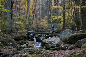
 At mile 2.2, the trails meets the intersection with Thomas Divide at Deeplow Gap. Descending the divide’s eastern slope, you’ll cross by way of a foot log over Little Creek and come to the top of Little Creek Falls at 2.9 miles. You’ll descend to the base of the falls where it cascades over 95 feet to its majestic ending below. Another foot log crosses the bottom of Little Creek where you’re bound to get sprayed just a bit depending on the wind.
You’ll cross Little Creek again and some more foot logs before reaching a clearing that marks an old home site. Little Creek flows to the right till its intersection with Cooper Creek. Meanwhile, hikers come to the trail’s junction with the Cooper Creek Trail at mile 3.7, hikers will continue northward on the Deeplow Gap Trail. Another foot log is approached at 4.1 miles in and soon thereafter you’ll notice the remains of two chimneys – the site of a one-time farmhouse.
Another foot log must be crossed at 4.9 miles over Cooper Creek before ascending the ridge crest at 6.1 miles and the junction with Mingus Creek Trail. Happy hiking!
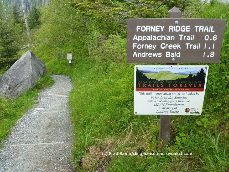
 For the most part, the Forney Ridge Trail is a downhill hike for 5.6 miles and travels from the Clingmans Dome parking area all the way to the Springhouse Branch Trail. And while it is a downhill hike, it’s a steep and rocky one. So, prepare yourself accordingly with the right footwear.
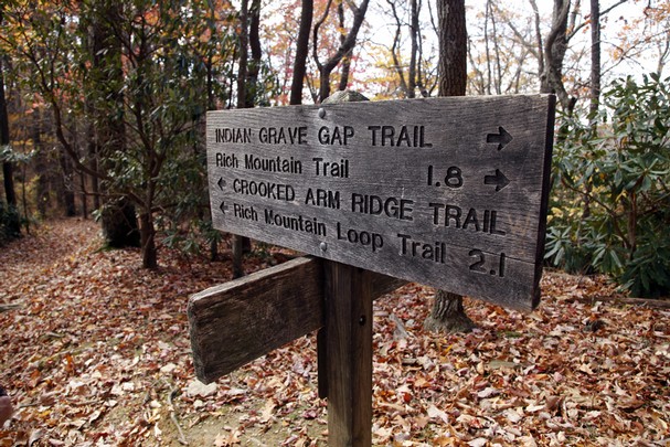

 (1024x683)")
 Located on the North Carolina side of the Smokies, the Goldmine Loop Trail is a 2-mile trail that begins at its junction with the Lakeshore Trail and ends at its intersection with the Tunnel Bypass Trail. Highlights include its meeting point with backcountry campsite No. 67, access to Fontana Lake, and a few old homesteads located along the trail.
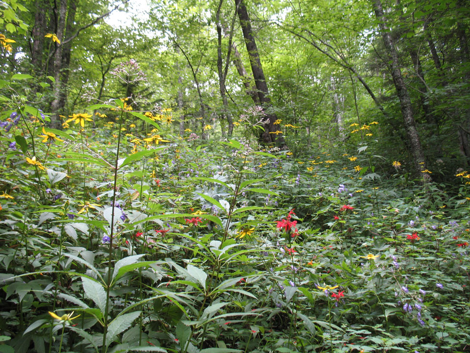
 (1024x683)") Cades Cove is the most popular
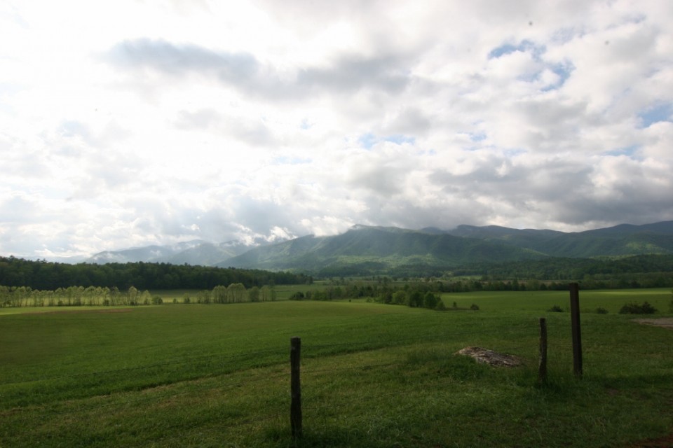
Cades Cove is the most popular  (1024x683)") The people of Cades Cove farmed the land, fellowshipped with each other and were happy for the most part. Then in the early 1900s, the Great Smoky Mountains National Park went from being an idea to being a reality. The people of Cades Cove were the most resistant to the creation of the park and to their inclusion in the park. In 1927 the General Assembly of the state of Tennessee declared that Cades Cove would be included in the GSMNP. The residents of the Cove fought the inclusion but in the end they were forced out of the area. In the end, some of the residents were given a lifetime lease. In fact the last resident out of Cades Cove was Kermit Caughron who passed way in 1995 and his home was dismantled soon after that.
The people of Cades Cove farmed the land, fellowshipped with each other and were happy for the most part. Then in the early 1900s, the Great Smoky Mountains National Park went from being an idea to being a reality. The people of Cades Cove were the most resistant to the creation of the park and to their inclusion in the park. In 1927 the General Assembly of the state of Tennessee declared that Cades Cove would be included in the GSMNP. The residents of the Cove fought the inclusion but in the end they were forced out of the area. In the end, some of the residents were given a lifetime lease. In fact the last resident out of Cades Cove was Kermit Caughron who passed way in 1995 and his home was dismantled soon after that. (683x1024)") Today you get to tour a Cades Cove that looked much as it did in the early 1900s. The eleven mile loop road around the Cove gives you access to all the historic structures, hiking trails and of course the wildlife that the cove is famous for. Before you enter the Cove you come to the riding staples, a picnic area and the campground and store. Cades Cove has it all.
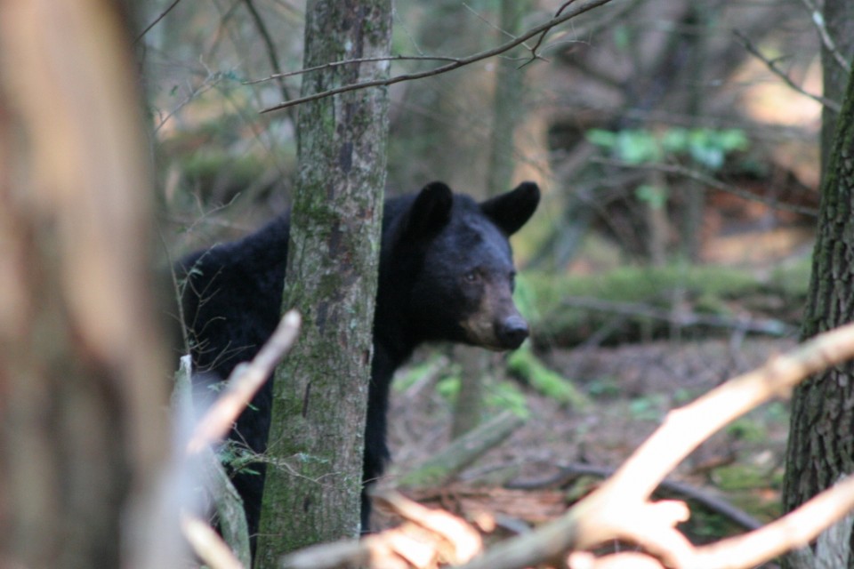
Today you get to tour a Cades Cove that looked much as it did in the early 1900s. The eleven mile loop road around the Cove gives you access to all the historic structures, hiking trails and of course the wildlife that the cove is famous for. Before you enter the Cove you come to the riding staples, a picnic area and the campground and store. Cades Cove has it all.