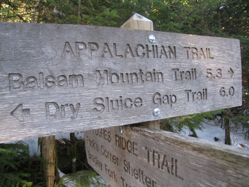
The Balsam Mountain Trail is a 10.1 mile trail that continually rises over the first half of the trail before leveling out and reaching its finale at its meeting point with the Appalachian trail. It’s a day’s worth of good hiking and you can expect to come across wondrous mountain views and various wildflower species during the spring and summer months.
Interested parties can access the trail via its trailhead by way of the Blue Ridge Parkway. Traveling the Heintooga Ridge Road for 9 miles, you’ll enter onto Balsam Mountain Road and travel another 8.4 miles to Pin Oak Gap, where the trail begins.
Accordingly, the Balsam Mountain Trail begins in a northern hardwood forest before moving into a spruce fir forest. You’ll reach Beech Gap at mile 2.3 and notice the dip in the mountain and various patches of grass along the trail. Beech Gap Trail meanders off to the left at this point leading 2.5 miles to a place name Round Bottom. Moving further down the trail, hikers will come to Laurel Gap Shelter – a bear proof structure made of stone. At least 14 people can sleep comfortably here and there is a fire pit and a picnic table.
Past the shelter, you’ll climb another 0.2 miles before reaching the meeting of the Mount Sterling Ridge Trail. From there, you’ll notice a number of various offshoots to other trails before reaching Luftee Knob at 6.9 miles. After this, it’s a level grade for hikers and a panorama of fir forest. You’ll also notice views of Mount Hardison along the trail before a soft ascent to the Appalachian Trail junction.
