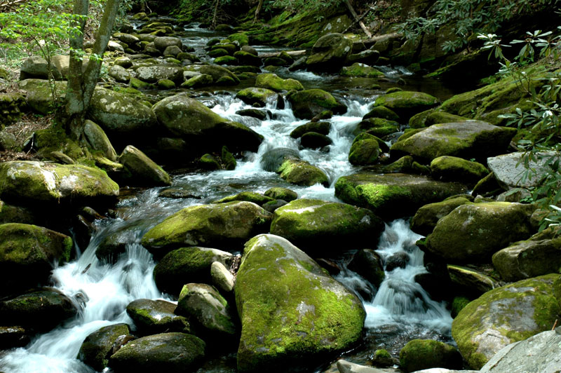
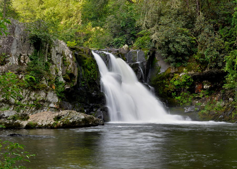
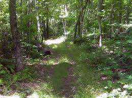
The Boogerman Trail in the Great Smoky Mountains has it all – old growth forest, picturesque streams and waterfalls, and what’s left of a few early Smoky Mountain homesteads. Now that you know that, a challenging 7.4 mile round-trip doesn’t seem all that bad.
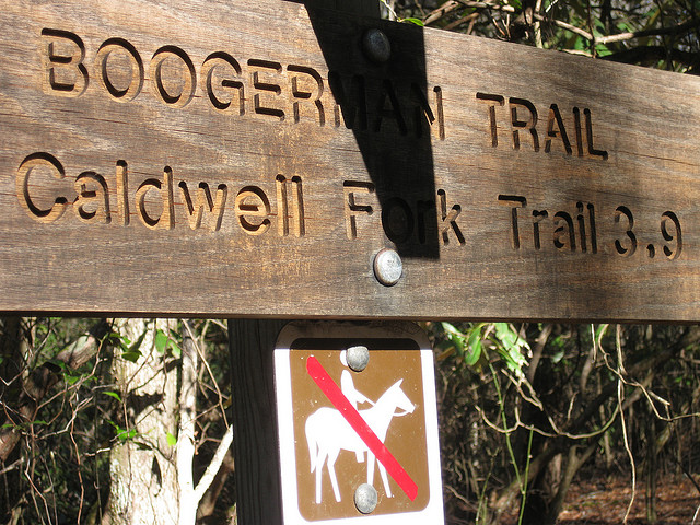
You’ll find the trailhead in the Cataloochee section of the park, which is located on the North Carolina side of the Great Smoky Mountains National Park and can be a little more difficult to reach, but well worth the effort. From Interstate 40, NC State Route 276, and Cove Creek Road, navigate your way to the Caldwell Fork Trail (follow the signs).
During the Boogerman Trail hike, you’ll gain approximately 800 feet and reach an altitude of 3,600 feet. The trail gets its name from Robert “Boogerman” Palmer, whose old homestead in seen along the trail, as well as some of the region’s largest trees and various mountain streams. The Boogerman Trail also passes through some pristine wilderness that was untouched by logging companies who made their way through the Smokies before the land was purchased by the federal government and subsequently designated for use by the national park.
Upon arrival at the Caldwell Fork Trail, cross Cataloochee Creek by footbridge before coming across a slew of white pines. You’ll stay right when the trail splits before crossing Caldwell Fork on a footbridge.
At mile 2.8, you will encounter the Palmer homestead.
The trail turns to follow Snake Branch at 3.8 miles into the loop, before turning again around a rock wall, and traversing a small stream. Old fence posts and piles of stone now dot the landscape, indicating an area of early homesteads which once stood by the creek.
Snake Branch is crossed at nearly 5 miles into the hike. Towering hemlocks are also seen before the path takes you across Caldwell Fork a hand full of times via log footbridges. Several hundred yards before crossing Cataloochee Creek at approximately mile 7.4–and completion of the loop–you will see the remains of a cabin and barn built by Carson Messer.
The Boogerman Trail hike is a wonderful way to get to know the Cataloochee area of the national park, and I came away feeling stronger and more fulfilled than when I arrived.

 The people that lived in the Roaring Fork area were the first residents of White Oak Flats – the area that became Gatlinburg. The Reagans and the Bales established this rugged mountain community. They lived off the land and unlike the other auto tours of valley areas lie Cades Cove and Cataloochee, Roaring Fork is a sharp contrast. They built saw mills, they trapped and hunted for food. Their lives were very different from those that lived in the valleys. Nevertheless, getting to drive through this area and see the homes that the park service keeps up and the scenery that these settlers lived in is remarkable.
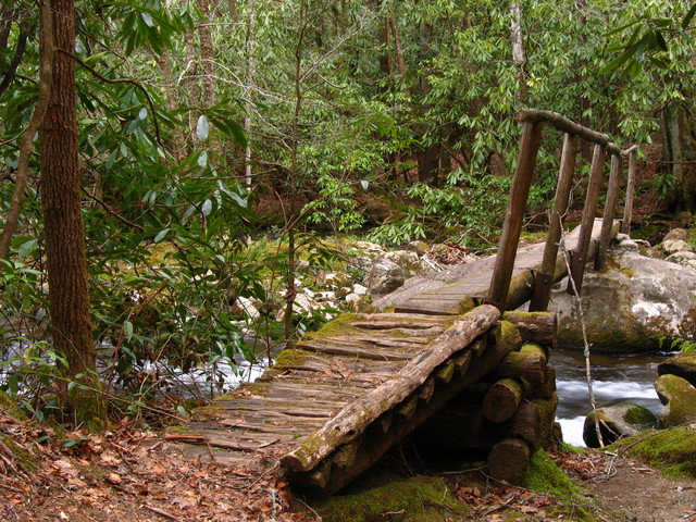
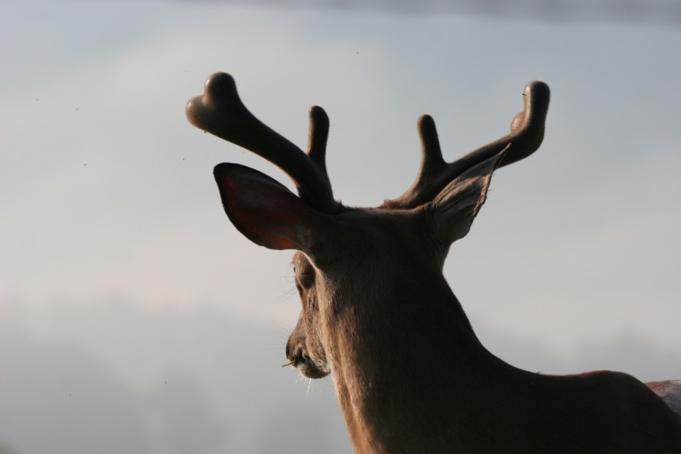
 (1024x683)") The whitetail deer is a common sight along the roads and in the valleys of the Smoky Mountains. While they might not be as hard to find as the
The whitetail deer is a common sight along the roads and in the valleys of the Smoky Mountains. While they might not be as hard to find as the  (1024x683)") These herbivores eat the soft grasses graze throughout the year. The temperate climate in the Smokies also give them plenty of food in the winter months. During the mating season you will see spikes and bucks sparring and rattling their antlers on trees as they go through their own mating dance.
These herbivores eat the soft grasses graze throughout the year. The temperate climate in the Smokies also give them plenty of food in the winter months. During the mating season you will see spikes and bucks sparring and rattling their antlers on trees as they go through their own mating dance.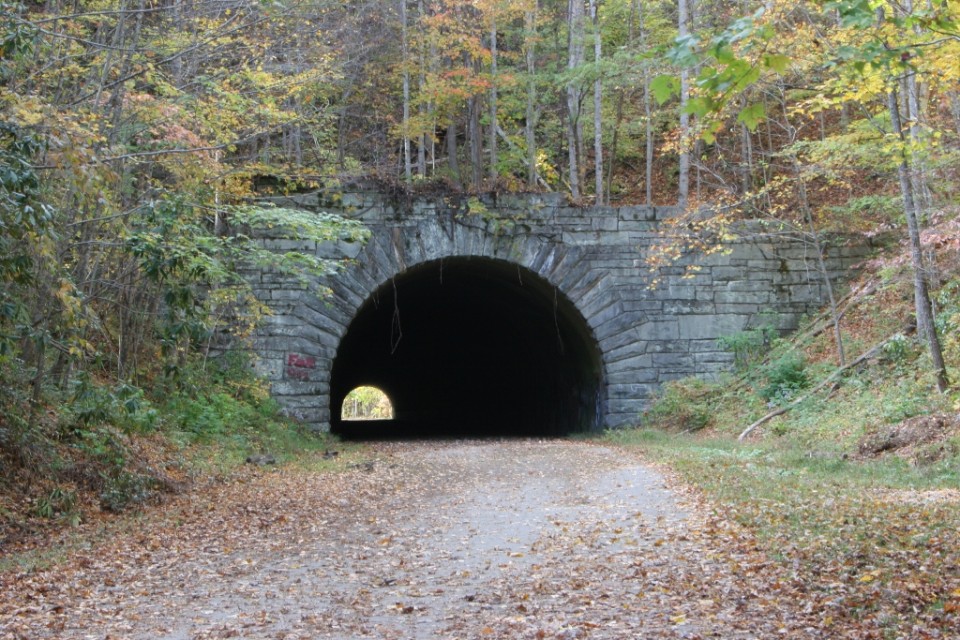
 (800x533)") This six-mile drive is also known as “the Road to Nowhere” and affords great views of Fontana Lake. Lakeview Drive ends one mile beyond a viaduct at the mouth of a tunnel. Work on the road stopped in 1943 and was never continued. “The Road to Nowhere” actually takes you to some nice hiking trails. Lakeshore and Tunnel Trails begin at the end of the parking area. The Lakeshore Trail is one of the newer trails in the Park, extending along the south boundary for about 44 miles. It is actually a configuration of trails developed from old manways, older existing trails, and roads.
This six-mile drive is also known as “the Road to Nowhere” and affords great views of Fontana Lake. Lakeview Drive ends one mile beyond a viaduct at the mouth of a tunnel. Work on the road stopped in 1943 and was never continued. “The Road to Nowhere” actually takes you to some nice hiking trails. Lakeshore and Tunnel Trails begin at the end of the parking area. The Lakeshore Trail is one of the newer trails in the Park, extending along the south boundary for about 44 miles. It is actually a configuration of trails developed from old manways, older existing trails, and roads. (800x533)") They were promised a road that would extend into the park and all the way to these areas that were cut off. The construction of Lakeview Drive began in 1943 and though progress was slow it continued until 1972 when funding ran out and the construction halted. The matter of whether this road would be finished was batted around on a local, state and federal level until 2010 when it was decided that a payout would be made to Swain County,
They were promised a road that would extend into the park and all the way to these areas that were cut off. The construction of Lakeview Drive began in 1943 and though progress was slow it continued until 1972 when funding ran out and the construction halted. The matter of whether this road would be finished was batted around on a local, state and federal level until 2010 when it was decided that a payout would be made to Swain County, 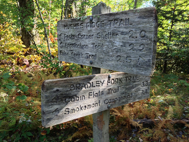
 Continuing along the trail, Double Gourd Branch tumbles and rolls across the trail and onward through the mountains . Keeping walking, you’ve got at least another 8 miles of climbing ahead of you. The trail will come to parallel Dry Pond Branch before you reach an actual backyard at 1.5 miles and the park boundary.