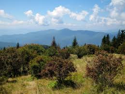
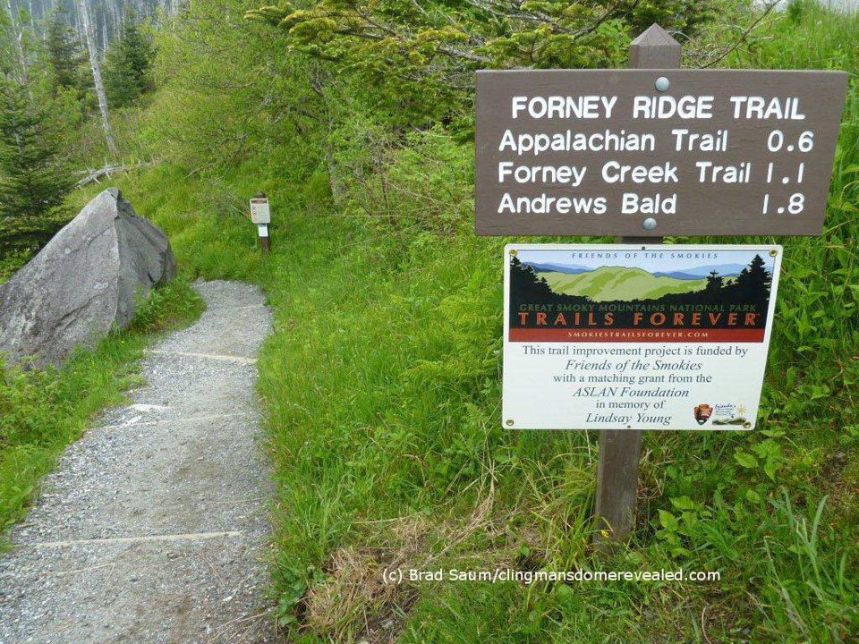
One of the more traversed areas in the Smoky Mountains is Andrews Bald, and rightly so, it’s a majestic spot and one that is accessible by routes like the Forney Ridge Trail.
 For the most part, the Forney Ridge Trail is a downhill hike for 5.6 miles and travels from the Clingmans Dome parking area all the way to the Springhouse Branch Trail. And while it is a downhill hike, it’s a steep and rocky one. So, prepare yourself accordingly with the right footwear.
To reach the trailhead, travel down Clingmans Dome Road until you reach the parking area. Between the water fountain and the path to the lookout tower, you’ll find the access trail.
It’s an uneven trail starting out and you’ll pass some large rocks before taking a left and passing the Clingmans Dome Bypass Trail. There are still fir trees that align the ridge if you’ll take notice before heading down into a patch of blackberries and raspberries.
Rocks and roots get in the way a bit too much going on down the trail so keep steady if you can. Watch out for a sharp right at mile 1.1 on the trail, but continue straight ahead. You’ll rise slightly through the forest before dropping again into Andrews Bald.
Andrews Bald is named after an early settler who herded cattle up to the bald and eventually built himself a home up there. If you’re clocking yourself, you reach Andrews Bald at mile 1.8 on the Forney Ridge Trail. There are a few offshoots on Andrews Bald that takes you to some great lookout points of Fontana Lake and the Noland Creek Valley. If it’s a clear day, take advantage of these two side trails, the views are some of the best in the entire park.
June is a rather popular month on the Bald as rhododendrons are in full color, thus the foot traffic can be pretty heavy, especially on weekends.
Continuing on the trail, you’ll hike a switchback going down on a rocky path. On the descent past Andrews Bald blackberries and various wildflowers find shelter among the number of rock outcroppings.
Following another ridge hike, you’ll drop down the trail again into more wildflower species, rhododendron, and beech trees. Large boulders can be seen along this ridge and about 2.5 miles past the bald, the trail loses its rocky texture and turns primarily to dirt. You’ve reached the intersection with the Springhouse Branch Trail. Hope this is a trail you’ll remember and visit again as you search for the best views in the Smokies.
