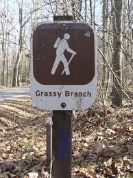
 Get ready for an uphill hike if you decide to set out on the Grassy Branch Trail one day. It’s a short, yet challenging trek in the Smokies from its intersection with the Kephart Prong Trail to the junction with the Dry Sluice Gap Trail.
To get there, From Newfound Gap drive 8 miles south, which is approximately 22 miles from Gatlinburg. There you’ll find the Kephart Prong parking area beside the river. You’ll hike over the Oconoluftee River by way of a foot bridge and hike for 2 miles on the Kephart Prong Trail. At that point, you’ll be at the Kephart Prong Shelter and ready to start out on the Grassy Branch Trail.
Now the steep climb starts. Passing the trail sign and a stone chimney, the trail winds around almost to the point that you feel you’re hiking around a cliff. Be wary of any loose rocks and a wet trail when it rains.
You’ll eventually come to an old stone wall and the trail will widen and become a bit more level than it was. Crossing another creek, you’ll skirt around a ridge then repeat. Soon thereafter you make the final creek crossing on the Grassy Branch Trail.
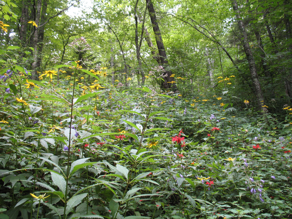
A switchback occurs at a rock pile continuing on the trail and you’re hiking through a forest of maple and oak. You’ll be able to see a number of other Smoky Mountain peaks if you keep your eyes peeled and look through the trees at this point. You notice them even more during the fall and winter months.
Another switchback occurs as you cross another ridge and you’ll soon notice the sound of a creek as you walk along. Thick, grassy forest will be noticeable as well, and the reason the trail got the name, Grassy Branch. An eroded area of the trail means that you’re nearing the end of the Grassy Branch and you’ll soon see the Dry Sluice Gap Trail sign. The Appalachian Trail is another 1.3 miles to the left if you choose to venture that way. Enjoy the rest of your hike in the Smokies!