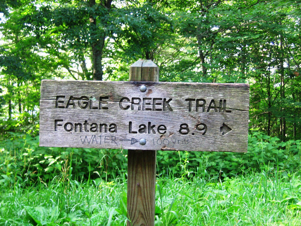
The Eagle Creek Trail in the Great Smoky Mountains is an 8.9 miler with various streams crossing the trail throughout. Starting on the North Carolina side of the Smokies, the trail begins at the junction of the Lakeshore Trail – 6.1 miles northeast of Fontana Dam. To reach that point, you’ll have to take a boat across Fontana Lake to backcountry campsite No. 90. In other words, you’ve got to really want to hike the Eagle Creek Trail because it takes some maneuvering to get there.
 Eagle Creek has been used for years by various people to make a living, as well as for travel purposes. Today, the TVA harnesses its water for electricity. Hiking the Eagle Creek Trail starts out at the base of the creek. It’s a strenuous, challenging hike so be prepared and wear good shoes or boots.
At 0.5 miles past campsite No. 90, the trail crosses the stream by way of a foot log with a handrail. It’s a pretty aggressive stream at this point so proceed with caution when crossing the foot bridge.
The junction with Pinnacle Creek is reached at 0.7 miles on the trail. Eagle Creek is crossed again in about a quarter mile, sans a foot bridge. You’ll be tasked with crossing the creek at least 15 miles within the first 4.6 miles so be prepared and make sure to wear the appropriate gear. Sometimes the water levels may not allow you to go on. This trail depends a lot on the recent weather.
Backcountry campsite No. 89 is passed at mile 1.6 and can hold as many as 6 tents. You’ll rock hop Ekaneetlee Creek following the campsite and cross Eagle Creek again soon thereafter. And at the 2.6 mile mark, you’ll reach backcountry campsite No. 96, which is basically an island and can hold 4 tents. However, if you want to use the bathroom, you’ll have to ford the creek back to the other side as the island does not meet backcountry regulations when it comes to bathroom use.
More stream crossings are met 4 miles in. You’re beginning to get the picture when it comes to the large amounts of tributaries that crisscross the trail. Good shoes are imperative. Backcountry campsite No. 97 is passed before reaching Spence Field. The washtub at the campsite is to be left untouched, but feel free to imagine what early settlers may have used it, or in fact lived in the area.
Continuing along the shores of Eagle Creek, the trail begins to climb and get steeper. Gunna Creek – a major tributary of Eagle Creek is reached as you climb the mountain. It’s rough descent down the mountain in no way reminds the hiker of Eagle Creek.
You’ll cross Gunna Creek for the first time at mile 6.2 by way of a somewhat difficult rock hop. There is no fishing beyond this point either as the park looks to protect such species as the brook trout.
As you hike up and up, Spence Cabin Branch follows the trail. You won’t cross it until the path levels. On up the mountain you’ll come to Spence Field Shelter where hikers can find shelter and bathrooms. If you plan to stay here, be sure you make reservations beforehand. Spence Field is east only 0.1 miles. If you want a great view of Cades Cove, walk on over an admire the beauty of the Smokies. Enjoy it, you’ve hiked a very challenging trail and should be proud of your perseverance.
