A number of backcountry campsites can by found along the Deep Creek Trail in the Smokies as well as a number of Smoky Mountain streams the crisscross the trail through its length. In all, it’s a long, 14.2 mile hike for Newfound Gap Road to the trail’s meeting with Deep Creek Road.
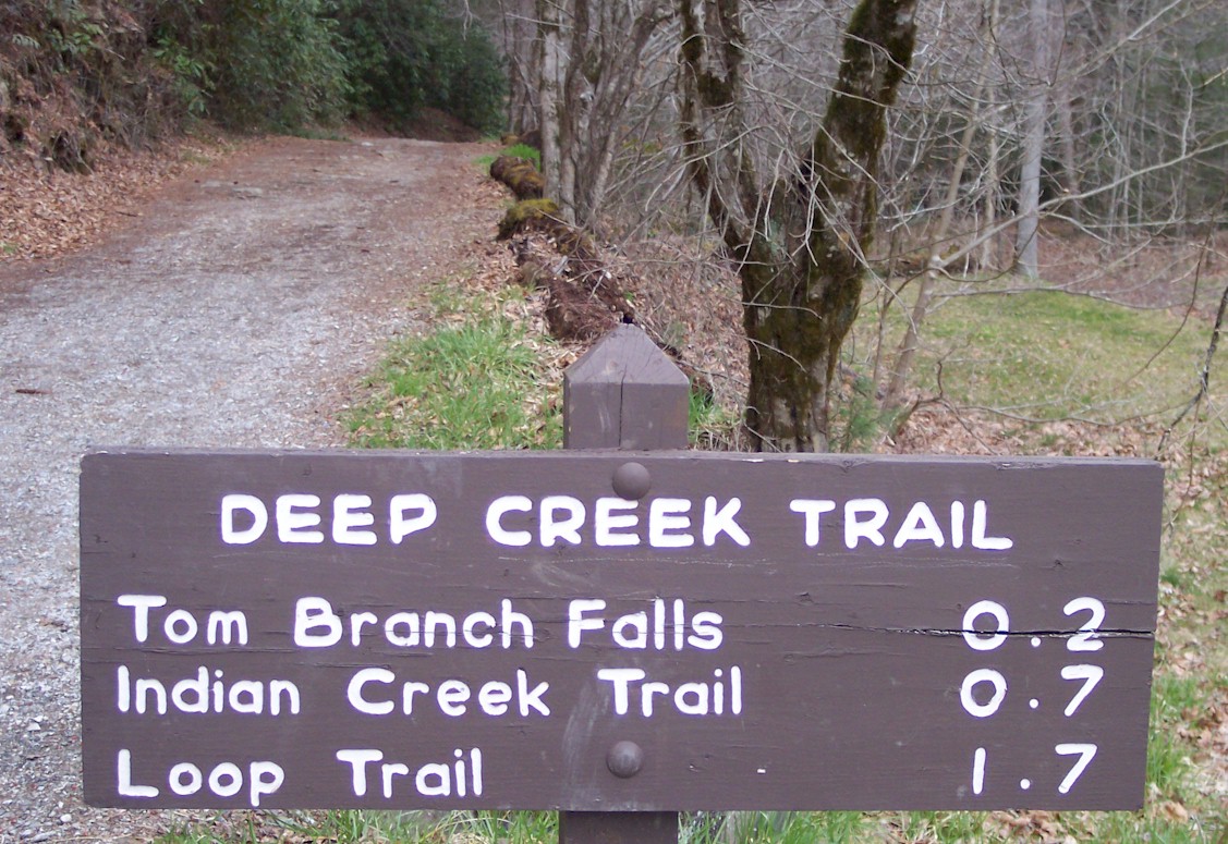
Hikers can find the trailhead 1.7 miles south of Newfound Gap along Newfound Gap Road. According to the history books, the Deep Creek Trails was one of the first trails established following national park establishment. It was designed by R.P. White, an engineer, who considered the Deep Creek Trail to be the most beautiful trail he ever designed.
 At the trailhead, you start out on a switchback before descending to Deep Creek and winding through a few other coves. Here, small streams run across the trail and wildflowers can be found in bunches around every turn. A mile and a half in, hikers must jump a stream and a mile later you get a better idea of the number of different trees, wildflowers and tributaries that makes their way around the trail. At mile 3.5, Deep Creek makes an appearance and lets it be known what a great fishing spot it is. If you happen to bring a rod and reel, jump in, just have your license on you.
Backcountry campsite No. 53 appears at mile 3.9 on the trail. It’s a well-used campsite and not the most appealing of all the one located along this trail, but definitely one that can be used nonetheless.
The next couple of miles are spent bopping and weaving along Deep Creek. Many times it just makes the hiker cross it regardless of water level. Deep Creek rises and falls, rushes and slows at various points not giving so much as a care to the hiker.
A campsite is approached about every half mile once you get 6.5 miles into the trail. These backcountry campsites are numbered 54-59, some are very appealing, others are average, it’s your choice.
Hikers are now traveling up and down throughout the landscape, some muddy, some not. The Martins Gap Trail intersection comes up at campsite No. 57, or Bryson Place. The descent to campsite No. 60 soon follows around 11. 7 in. It’s one of the more picturesque sites on this trail for all you camera carriers.
You’ll cross Bumgardner Branch by way of a foot bridge and at 12 miles you’ll come to a gravel road then a mile later come to the Indian Creek Trail intersection before reaching the trail’s end.