If you’re in the Cades Cove area and you’re looking for a good, all day hike; look no further than the Cooper Road Trail just off the Cades Cove Loop Road. It’s a 10.9 mile hike from the loop road, around 4.3 miles in, to the Abrams Creek campground.
A former Indian trail, Cooper Road, at one time, was the main access way into Cades Cove for early settlers venturing into the Smoky Mountain region for the first time.
 It’s an easy hike going in as maples, oaks, and pine trees are prevalent before reaching a small sign for the Wet Bottom Trail – a connector trail if you’d like to go back to the Elijah Oliver Place.
Continuing straight, the trail soon rises over a few ridges and a creek, then descends into a ravine. More ridges appear and the trail continues higher and higher on a rockier path. Two miles into the hike, the trail begins to cut back and forth above a creek. This is a great area to gaze at some beautiful spring wildfowers.
You’ll come to the junction with the Hatcher Mountain Trail and Little Bottoms Trail at mile 5.7. The Cooper Road Trail continues straight at this intersection through more maples and oaks. Once you’ve hiked 7.4 miles, you’ll notice 3 large rocks that mark the intersection with the Cane Creek Trail.
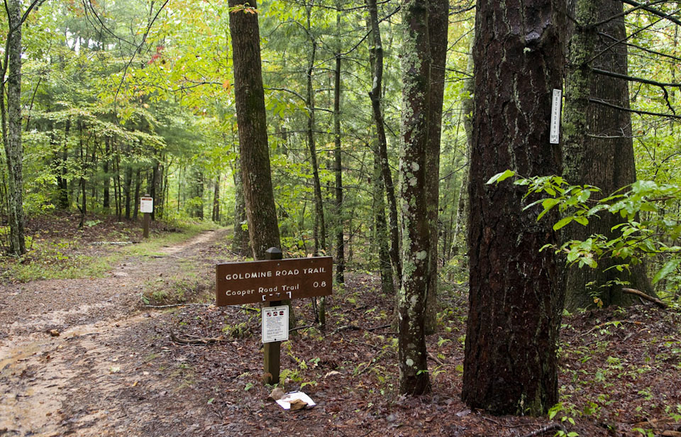
Hikers moving along will climb left to the junction with Goldmine Road. Here, you’re at 1750 feet and it’s downhill for most of the way, with one exception up a creek.
During your gradual descent, you’ll notice a scraggly wooded area, drop into a ravine, and cross yet another creek. More water crossings are a sign of Kingfisher Creek’s tributaries before coming to backcountry campsite No. 1 on the left. Ten people can camp here and Kingfisher Creek runs behind the site.
The Little Bottoms Trail junction is reached at mile 9.6 and leads left to Abrams Falls in a little over 4 miles. Abrams Creek Campground is seen at mile 10.5 and the ranger station is just a bit further.

1 thought on “Cooper Road Trail”