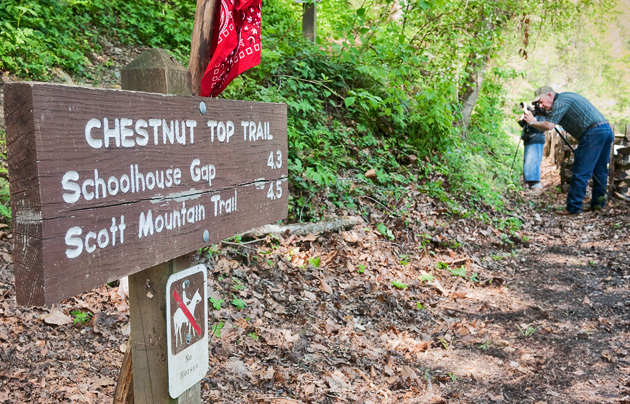
If you know the Townsend “Y” is, then you’re halfway to hiking the Chestnut Top Trail in the Smoky Mountains. In all, it’s a 4.3 mile trail filled with Smoky Mountain wildflowers and a slew of great vistas and views of the Smokies that finishes at the Schoolhouse Gap Trail intersection.
The trailhead is located at the intersection of Little River Road and the Townsend, Tn entrance road. There are plenty of parking spots available along the road, as well as in a large parking lot near the “Y”.
Ask most people and they’ll say that the Chestnut Top Trail is best enjoyed in Spring when the wildflowers are in full bloom. Hikers can easily spot near 50 species if you’re so educated. But beware, poison ivy lurks in heavy amounts at spots along the beginnings the trail.
Hiking the trail, you’ll find a smooth slope once you reach 0.5 miles into the hike. You’ll also notice that the forest becomes heavily covered by pines and oaks.
As the trail climbs Chestnut Ridge, you’re met by a set of switchbacks a mile in. Atop the ridge, you’re welcomed by the sight of Thunderhead Mountain and the crest of the Smokies – the highest on the western end of the national park.
At mile 2.8, hikers reach the highest peak of the trail before descending to Bryant Gap. If you look out to the right of the trail, you get a great shot Townsend, to the left is the park.
As the trail moves on it levels out until you reach the Schoolhouse Gap junction. To the left, the trail leads 2 miles to Laurel Creek Road which splits Cades Cove and Townsend.
