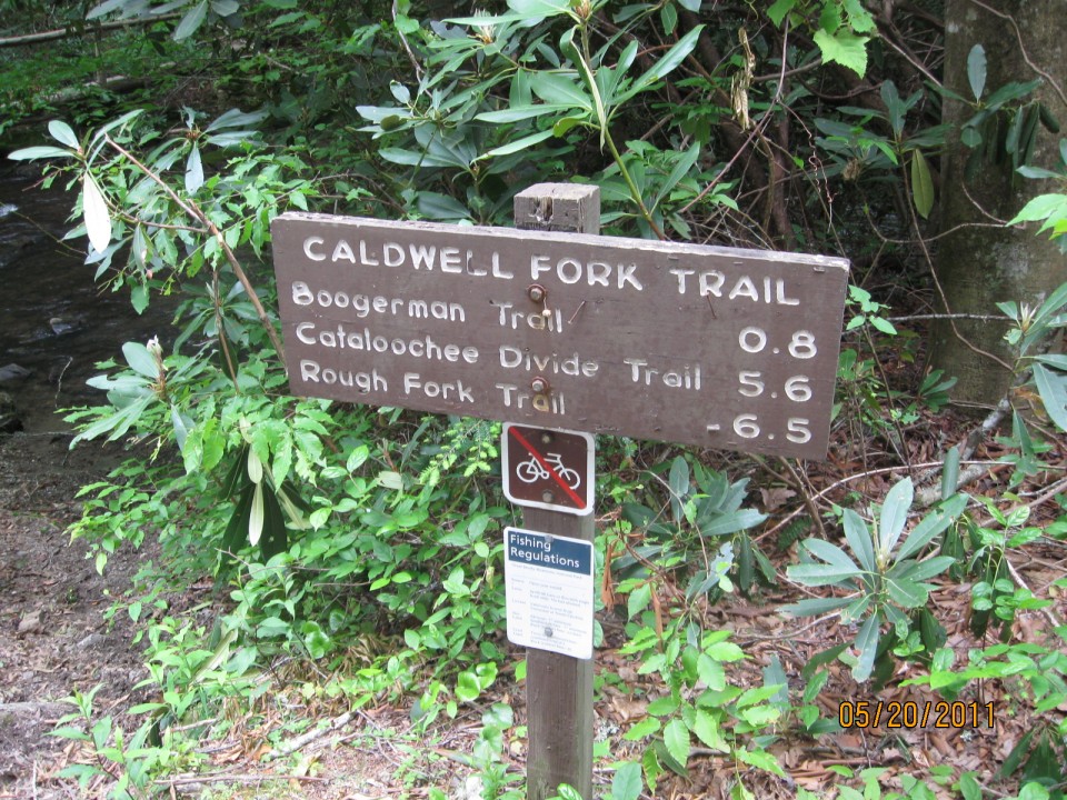
The Caldwell Fork Trail, located on the North Carolina side of the Great Smoky Mountains National Park, is a 6.3 mile hike from the junction of Rough Fork Trail to the intersection with Cataloochee Road. It’s an easier trail as it’s mostly downhill with meandering streams following along the path.
To access the trail via the Polls Gap Trailhead, take Heintooga Ridge Road north from the blue Ridge Parkway to Polls Gap. Then, follow the Rough Fork Trail 3.5 miles until you reach the Caldwell Fork Trail.
 Caldwell Fork gets its name from the second group of settlers to come to the Cataloochee Valley. The trail itself is used by both hikers and horses so don’t be too surprised to find some sections muddier than others. The trail follows Caldwell Fork downstream throughout. You’ll also find beautiful American beech, red maple, and white oak, among others, on this hike.
Hikers will pass old fence posts along the way and grassland, reminding them that there were once lush fields where cows grazed here before reaching backcountry campsite No. 41.
At 1.7 miles, the trail meets Hemphill Bald Trail junction. Continuing on, the trails descends through rhododendron and along the Caldwell Fork on the left. The Clontz Branch is passed without the use of a footbridge. When you’ve reached 3.1 miles into the hike, the junction with McKee Branch Trail appears.
Near this point is where the old Caldwell Fork School once stood. It was one of three community schools in the Cataloochee Valley which also included the schools in Big Cataloochee and Little Cataloochee. Most children during those times split their schooling and farm duties. It was said that school only lasted 5 months then.
The 3.6 mile mark is the first of two junctions with the Boogerman Trail. You’ll see a number of streams cross the trail following this intersection so be sure to watch out and get good footing before marching on. As you reach the end of the trail, be sure to notice Cataloochee Campground on your right as you finish up. It’s a great ending spot for a mildly challenging day hike.
