Elkmont

Elkmont is located between Sugarlands Visitors Center and the Townsend Wye in the Great Smoky Mountains National Park.  If you are coming from the Sugarlands end of the park then you will travel about 4.9 miles to the turn off to Elkmont which will be on the left as you head toward Cades Cove.  If you are coming in from Townsend, you will travel 12.7 miles from the Wye to the turn off into Elkmont which will be on right hand side of the road.

Elkmont started out as a lumber area in the Smokies.  The Little River Lumber Company started logging this area in the early 20th century.  They put in a railroad system from Townsend to Elkmont to get the lumber out of the area and to get the lumber jacks into the Smokies.  As the forest were cleared, the lumber company started to pull out of the area and the people of Knoxville and Maryville decided to make excursions into the Elkmont area for their summer vacations.

Elkmont quickly became a vacation spot for the uppercrust of society.  The built home sin the area and came back year after year.  The location of Elkmont along the river, the climate during the warmer summer weather and the feeling of being up in the mountains made this area popular enough that in 1912 Charles Carter built the Wonderland Hotel on a hill overlooking Elkmont.  This inn became the ‘in’ place for visitors to stay when they wanted to get away to the mountains.

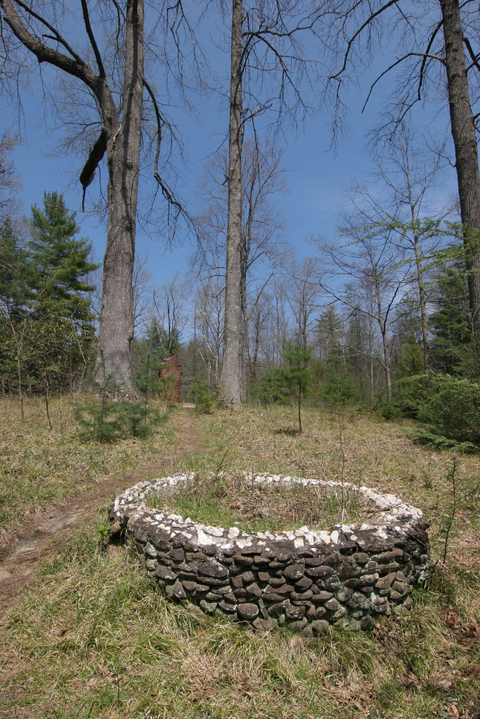
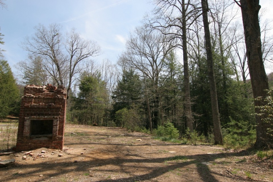
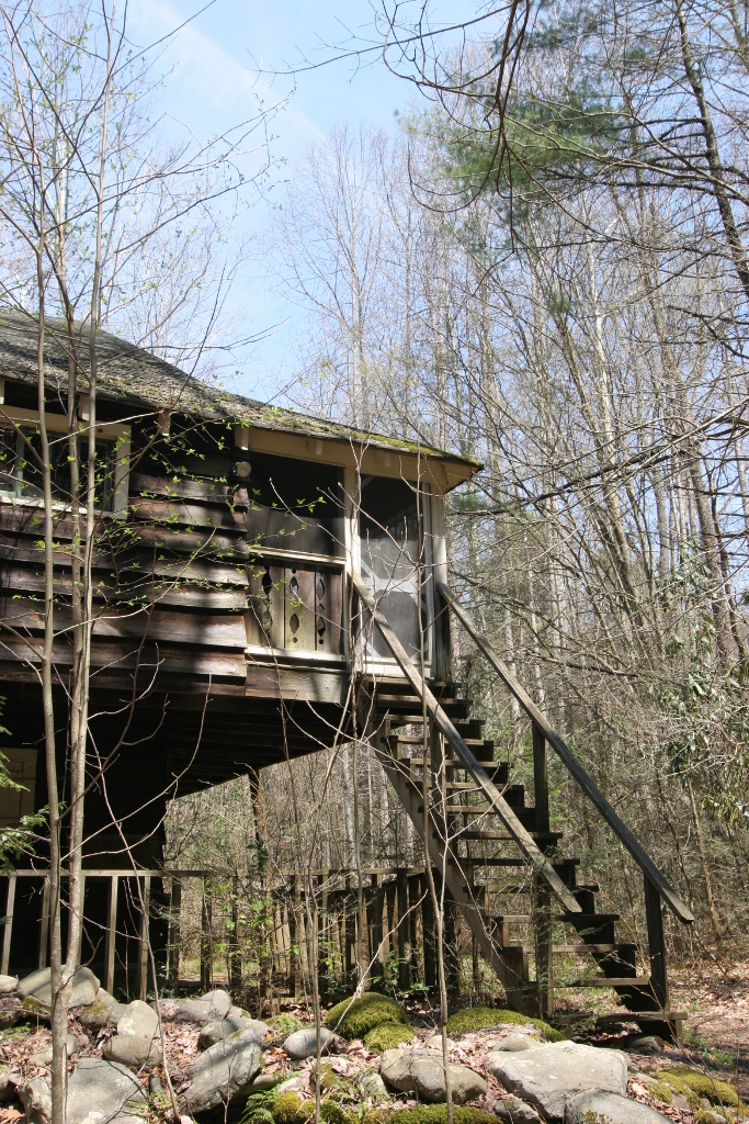
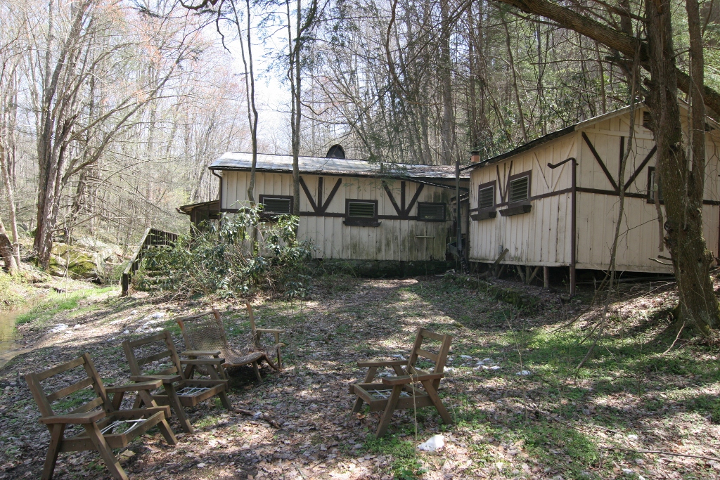
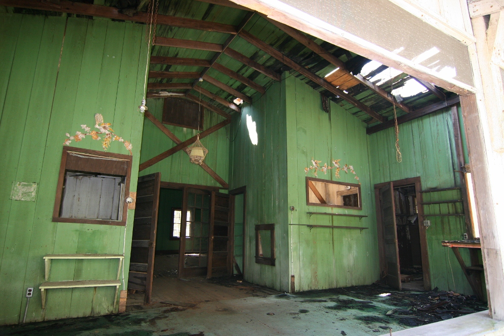
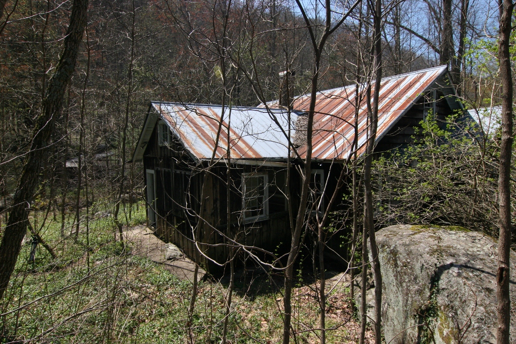
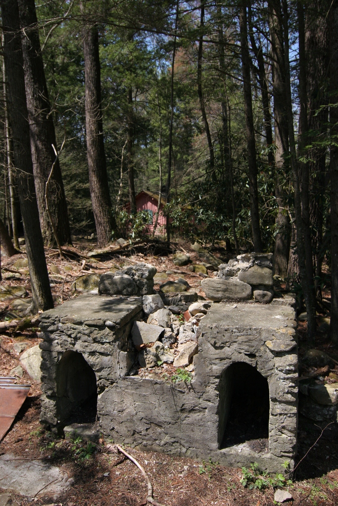
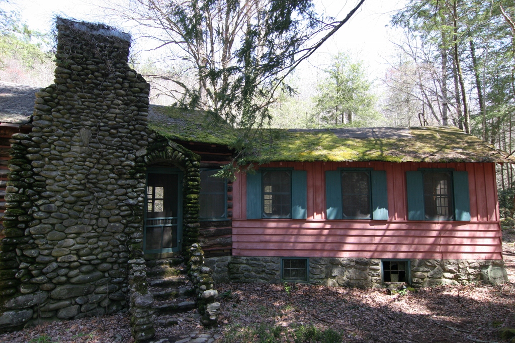
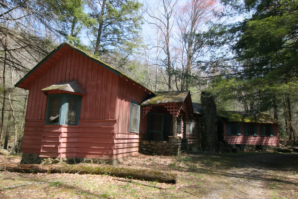
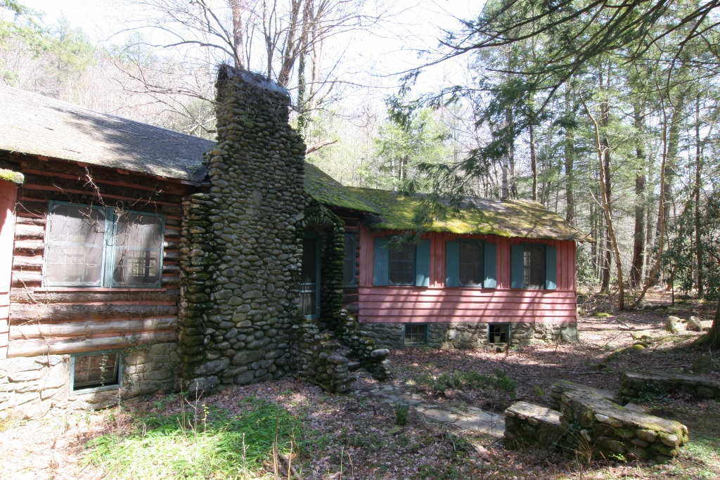
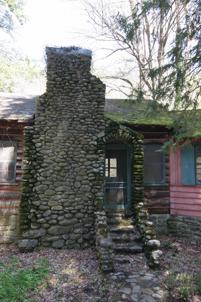
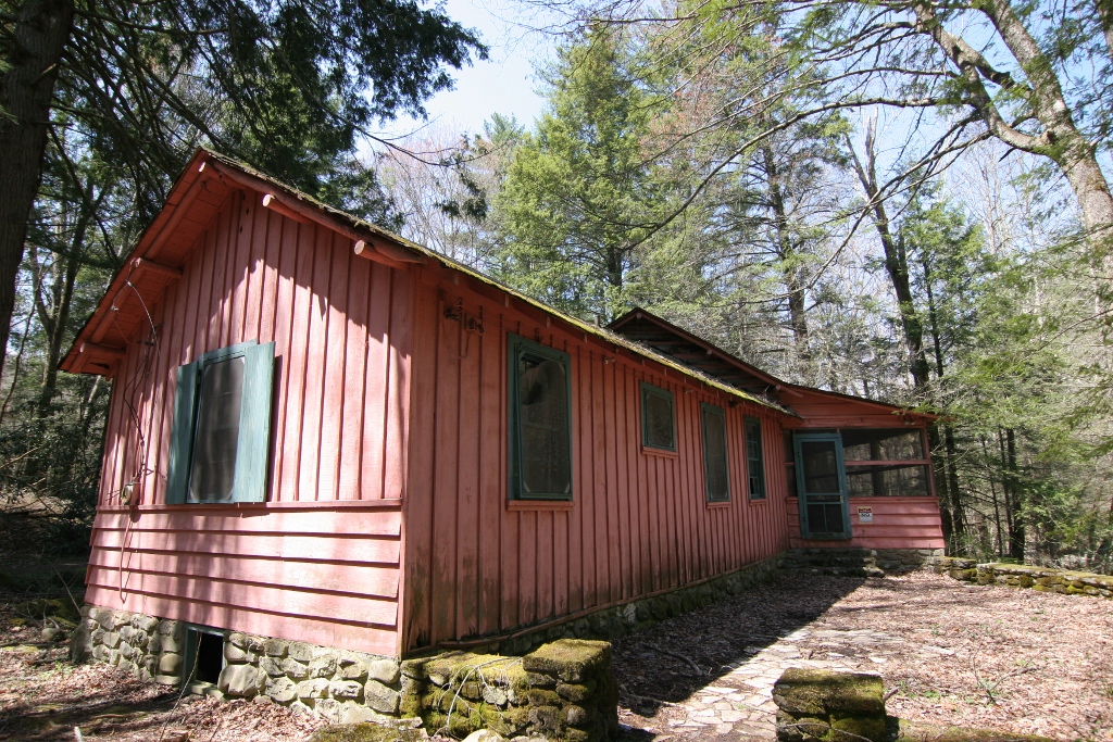
In the 1930s, the vacation spot of the Smokies begin to change.  As the land was being purchased for the establishment of the National Park, the section known as Elkmont was chosen to be included.  The people that owned the vacation homes and the owners of the Wonderland Hotel were, needless to say unhappy with the loss of their property.  Even though they were going to paid for the land that was being claimed by the US government, they didn’t want to leave the area.  They were provided with life-time leases and though they lasted for a long time, even the Wonderland Hotel closed in 1992.  The homes and the hotel were both left and have continued to decay without upkeep.  Elkmont, the vacation area, have become a ghost town in the Smokies.

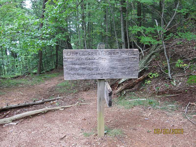
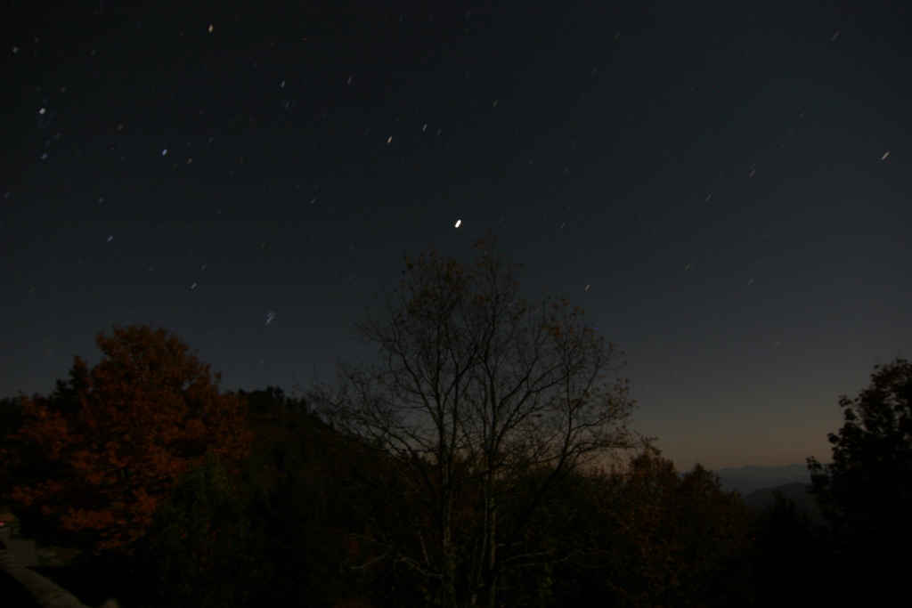
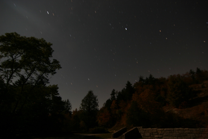
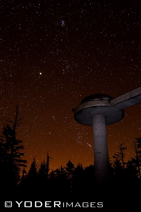
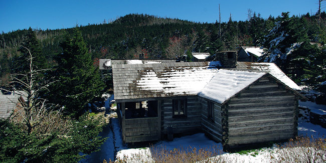
Elkmont is one of the best places to see the effect that the Smoky Mountains had on the people that lived around it.  It was an economic source of prosperity to the logging industry, a place to vacation for the elite in the surrounding towns and part of America’s most visited national park.  Now, it has a campground and is the site of the synchronous firefly phenomenon that occurs each spring.  Hiking trails that wind around the ghost town area and one of the older cabins in the Smokies give you a two very unique looks back into history.  Add to that a great place to trout fish and you are looking at plenty of outdoor activities and lots of fun.
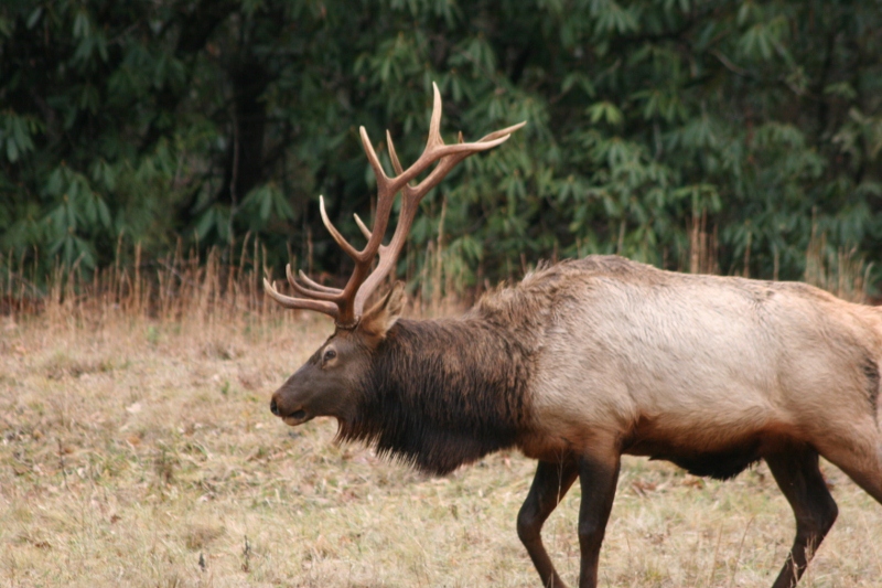
Albright Grove Loop Trail

The Albright Grove Loop Trail is a short little jaunt into park great for a lunch or side trip. In all, it’s a 0.7 mile hike from the Maddron Bald Trail.

To reach the Albright Gove Loop Trail, begin at the Maddron Bald Trailhead and hike 2.9 miles along Laurel Springs Road. The trail was named to honor the second director of the national park service – Horace Albright.

A looping, twisting trail, the aptly name Albright Grove Loop Trail follows a small creek. Eastern Hemlock provide the trail with a great canopy and tuliptrees, magnolias, and maples have grown to unprecedented sizes here in this untouched heavy growth forest. Massive tree trunks also characterize this section of virgin forest.

You’ll notice that the trail will eventually level before starting downhill where hikers can be on the lookout for a giant tuliptree on the left of the trail at exactly 0.3 miles. There, you’ll also notice a small offshoot trail made by admirers. There is a giant tuliptree further down the trail that sports a trunk over 25 feet in circumference…. Literally. “Wow”!

Keeping on the trail, hemlocks among other species grow at ease before winding up a ridge, taking a rather rough turn, followed by a descent to the Maddron Bald Trail.

Cold Spring Gap Trail

The Cold Spring Gap Trail is another wildflower trail in the Smokies best hiked in the Spring if at all possible. In all, it’s a 3.5 mile trail from its junction with the Hazel Creek Trail to the intersection with the Welch Ridge Trail.

To reach the trailhead, it’s a 6.7 mile hike from backcountry campsite No. 86 on Fontana Lake in western North Carolina near Bryson City.

The Cold Spring Gap Trail is considered more of a connector trail and follows Cold Spring Branch for much of its length. With a number of crossovers, be wary during rainy days. You’ll notice some rusted auto parts at 0.3 miles into the trail. Hazel Creek widens to about 10 feet at this point so be ready to cross it, or ready your horse. The creek’s sandy bottom is said to be the safest way, escuing the rocks.

You’ll climb a switchback after crossing the creek and pass some old home sites before crossing Cold Spring Branch at 1.2 miles. Notice the rock wall soon thereafter before more switchbacks.

A rocky, muddy trail awaits as the hiker ascends the next portion of the trail, crossing Cold Spring a number of times. Be sure to take notice of the wildflowers around here during the spring months.

You’ll reach elevations of 4,500 feet between Welch Bald and High Rocks. Hikers come to the Welch Ridge Trail soon, where it descends 7.3 miles from the AT.

Hiking to Mt LeConte

For viewing spectacular Smoky Mountain sunrises and sunsets, there is no better place than Mt. LeConte. Countless visitors have huddled together to view the sunrise from Myrtle Point on the eastern side, and hurried to see the sun set over Clingman’s Dome from Clifftops on the western flank.

Trails to LeConte: More than 10,000 hikers use the trails to LeConte each year. Five major trails drape the mountain. The shortest (5 miles one-way) and most popular is the Alum Cave Bluffs Trail, without a doubt the most spectacular trail in the whole Park!

The longest trail (but with the least elevation gain) is the Boulevard Trail at 8 miles. Many visitors with two cars go up the Boulevard Trail and come down Alum Cave Bluffs. Rainbow Falls Trail is 6.5 miles and Bullhead 7 miles. These two trails can he used as a “loop” beginning at the same trailhead in Cherokee Orchard near Gatlinburg. The Trillium Gap Trail, which passes by Grotto Falls, comes up the mountain from the Greenbrier area and is 8 miles, providing spectacular views of LeConte from Brushy Mountain

For an interesting account about hiking the trails of LeConte, be sure to visit Ed Wright’s website. Since retiring in 1991, Ed hikes LeConte 2 to 5 times a week and works as a Volunteer in the Park (VIP). He has written a book “1001 Hikes to Mount LeConte and Counting,” which documents his trips and the hikers he meets along the trails.

Elk

Classification:  Animalia – Chordata -0Mammalia – Artiodactyla – Ruminantia – Cervidae – Cervinae – Cervus – Canadensis

The elk is the largest mammal in the Smokies.  For thousands of years the elk roamed the valleys of the Smokies and though they were hunted by the Native Americans for food, they lived in large herds in the Southern Appalachians.  With European Settlers, the herds began to be hunted and the land that the elk called home started to shrink.  By the late 1800s, the elk herds were gone and the whitetail deer began to take their place in the mountain ecosystem.

In 2001, the Park Service decided to reintroduce the elk to the area.  They picked two areas in the National Park – Cataloochee and the Oconaluftee area .  The elk reintroduction were an experimental project that has really taken off and the elk herds in these areas are starting to thrive.  Much like the deer herds, the young and the cows roam in herds while the bulls tend toward a solitary life.

ElkThe elk is a big animal.  Much bigger than the deer that are in Cades Cove, the elk are much more aggressive and therefore much more dangerous.  That being said, they are amazing to watch.  Elk are grazing animals, they are large grazing animals, so eating take s up a majority of their day.  Eating grass and other plants in the National Park.  One of the features that is most prominent in the elk are the antlers.  Only the bulls have antlers and they grow throughout the year and are shed during the later winter.  Each season, as the elk get older they shed their antlers and the next season the antlers grow back bigger and more awe-inspiring.

Where to See Elk in the Smokies:

  • Cataloochee – The Cataloochee valley became the perfect place to release some of the first elk in the National Park.  Enclosed and protected, with large fields of grass and plenty of forest cover for the elk to play in, Cataloochee gives the elk an amazing backdrop.  It is possible to sees dozens of elk roaming through the fields in Cataloochee during the spring and fall.
  • Oconaluftte Area – Oconaluftee is the location of the Oconaluftee Visitor’s Center on the Cherokee side of the Smokies.  Elk were released here in late 2001 and the elk have chosen to hang around.  Usually in the afternoons, around dusk, you will see elk come out to graze in the fields around the visitors center.
  • The Rut – During the fall (August to early winter) the elk herds start a mating dance called the rut.  During the rut you will see bull elk sparring and battling for cows and you will get to hear the elk bugle.  The bugling of the elk is one f the items that needs to be on  your ‘to do’ list when you come to the Smokies in the fall.

Blue Ridge Parkway

Blue Ridge Parkway MapThis route follows the Appalachian Mountain chain from the Shenendoah National Park to the Great Smoky Mountain National Park-a distance of 469 miles. There are frequent turnouts for mountain vistas, waterfalls, picnic areas, and visitor centers. Much of the Parkway is closed in winter. The speed limit is strictly limited to 45 miles per hour or less, and trucks are prohibited.  The South Section Auto Tour covers the last 175 miles of the parkway beginning at the visitor center at Linville Falls. The parkway passes through a series of gaps, meadows, tunnels, and scenic overlooks. Points of interest include the Museum of North Carolina Minerals, the Folk Art Center and Craggy Falls. A popular sidetrip is a visit to the Vanderbilt’s magnificent Biltmore Estate in Asheville, NC.

As important as the Newfound Gap Road is to the GSMNP, the Blue Ridge Parkway is one of those vital arteries of traffic in the Southern Appalachian Mountains.  The drive from the Shenandoah Valley in Virginia to Cherokee, NC is one of the most miraculous drives you can take on the east side of the Mississippi River.  All along the Blue Ridge Parkway you will find towns such as Asheville, Maggie Valley, and Cherokee that are the epitome of the small little mountain town in the Smokies.  The Blue Ridge Parkway also offers access to some areas of the GSMNP that you can’t get to from any other point.  Work began on the Blue Ridge Parkway in 1935 and it took until 52 years to be completed.

Here are some of the highlights along the Smokies end of the Blue Ridge Parkway:

  • Blue Ridge Parkway
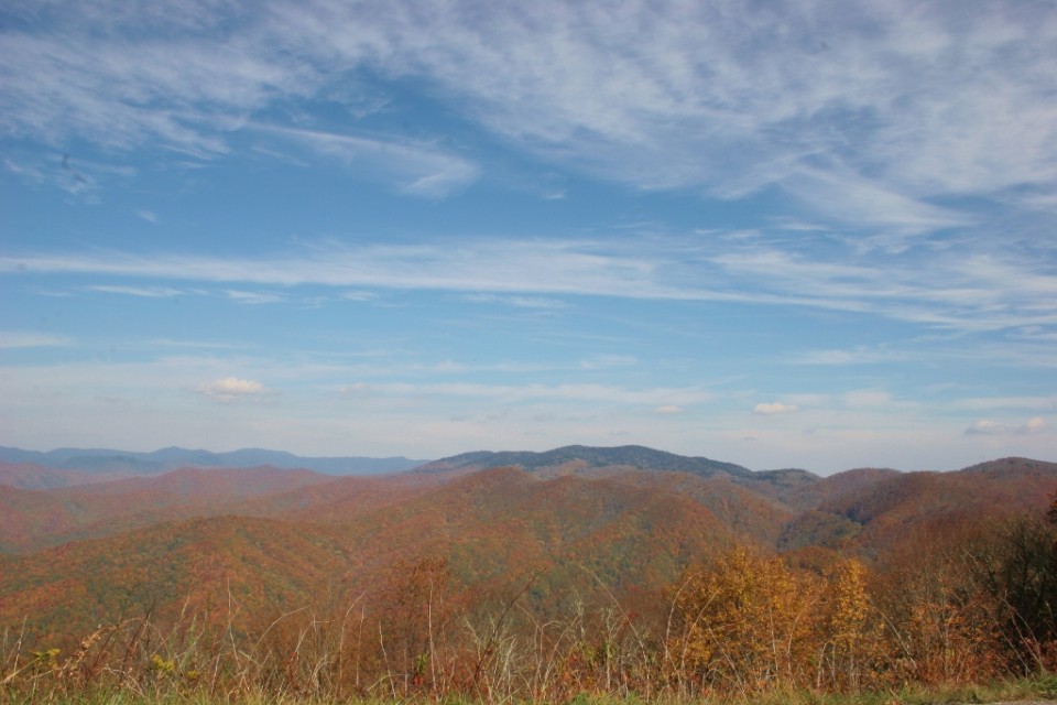
Milepost 469 – The Blue Ridge Parkway intersects with US 441 in Cherokee, NC
  • Milepost 458.2 – Heintooga Overlook – Mile-high overlook
  • Milepost 422.4 – Devil’s Courthouse
  • Milepost 417 – Looking Glass Rock
  • Milepost 408.6 – Mount Pisgah – part of the Biltmore Estate
  • Milepost 384 – The Blue Ridge Parkway Visitors Center
  • Milepost 382 – The Folk Art Center
  • Milepost 355.4  – Mount Mitchell State Park
  • Milepost 331  – Museum of North Carolina Minerals
  • Milepost 304.4 Linn Cove Viaduct
  • Milepost 285.1 – Daniel Boone’s Trace

Little Cataloochee Trail

The Little Cataloochee Trail is a 5.2 mile hike filled with historic structures as well as rolling Smoky Mountain hills and valleys on the North Carolina side of the park.

To get you started, you need to make your way to the Pretty Hollow Gap Trail, which lies 0.8 mile on Cataloochee Road. You’ll begin the trail along an old road through overgrown fields before crossing Little Davidson Branch by way of a few stepping stones. From here you’ll begin a steep ascent, crossing over the stream several more times.

You’ll notice a number of wildflower species as you move along the trail before reaching the first switchback a mile in. At 1.5 miles on the trail, you’ll see the first historic structure  on the left – on old farmstead.

Davidson Gap is reached at 1.8 miles on the trail following a rather steep climb. Hiking on, your descent begins in earnest as you hike past a rock wall before a switchback spits you out into the valley and the trail turns into a road. The farm is reached at 1.9 miles on the trail and you can take a break to observe the house and springhouse. To other structures, the apple house and the barn, are located in Oconaluftee and the Cataloochee Ranger Station respectively.

The Dan Cook log home is approached at the 2.5 mile marker. It’s not the original structure as it was reconstructed in 1999 following damage that had occurred at the site in years past. Dan Cook himself was known as a master carpenter in his day and built a number of structures in the area. Notice the fence posts that still stand in the vicinity where old homesteads once stood and at 3.2 miles you can climb up to the Little Cataloochee Baptist Church – one of the most picturesque places along the trail.

Follow the trail as it goes on behind the church and cross Little Cataloochee Creek around 3.7 miles in. The John Jackson Hannah cabin appears soon thereafter at about 4 miles via a side trail. This cabin was also restored, but in 1976 by the park service.

The Long Bunk Trail goes left at 4.1 miles leading to the Mount Sterling Trail. The Hannah Cemetery is just 0.2 miles in on this trail and one might think about making that quick side trip to view the historic cemetery.

Back on the Little Cataloochee Trail, you’ll hike around the end of a ridge until you cross Correll Branch and go on to the meeting of NC 284 and the finale of the Little Cataloochee Trail. Enjoy the Smokies!

Cades Cove Loop Road

The most visited valley in the Smoky Mountains

If there is only time in your schedule for one auto tour while you are visiting the Great Smoky Mountains National Park, let it be Cades Cove.  Certainly there are other great auto tours in the Smokies (Greenbrier, Newfound Gap Road, Cataloochee), but Cades Cove is the end-all-be-all.  Famously full of cars, and beautiful even on a rainy day, this is THE auto tour.

Of course, one of the most interesting things about Cades Cove is the history, the fact that the people that lived here, lived here into the 21st century, many years after the founding of the National Park is amazing, the number of historical buildings, the wildlife that calls this valley home and all of the highlights that you get to visit as you drive around the cove.  Here are just a few of the things you will encounter as you make the drive:

  1. John Oliver Cabin
  2. Primitive Baptist Church
  3. Methodist Church
  4. Missionary Baptist Church
  5. Rich Mountain Road
  6. Cooper Road Trail
  7. Elijah Oliver Place
  8. Abrams Falls Trailhead
  9. Cable Mill Area Visitors Center
  10. Parsons Branch Road
  11. Henry Whitehead Place
  12. Cades Cove Nature Trail
  13. Dan Lawson Place
  14. Tipton Place
  15. Carter Shields Cabin
  16. Ranger Station
  17. Campground and Campground Store

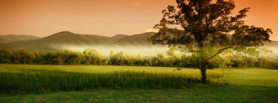
Obviously this is not all you are going to see as you travel around Cades Cove.  You are going to see countless vistas, wildlife, wildflowers and much more.  The reason that people flock to Cades Cove is the beauty, the grandeur of this spot that used to be home to a community before the Park Service took over.  The sloping sides of the valley rise up to the tops of the mountains.  If you make it there early in the morning you could watch the morning fog roll over the mountain, watch as the fog that gave these mountains their name floats down over the mountains and makes it way into the valley.  You drive along in peace and solitude watching for the pits that are marked on one of the free guides you can pick up at the front of the loop road and just take in the beauty.

If you go during the height of tourist season, you will encounter traffic.  Don’t worry about it.  The eleven mile loop can become quite long but you are there to enjoy the view and nature, not to make record time getting out.  Drive at a slow pace, keep an eye out for bicyclist and of course keep your other eye peeled for bears.  You are apt to see them early in the morning and late in the afternoon.  Let the sun slide down toward the horizon and the bears will come out.  In fact, make a second or third loop around the cove and just keep scanning the horizon.

Little Greenbrier Trail

Here’s a great little nature trail in the Smokies and a fairly moderate hike to the Laurel Falls Trail, it’s called the Little Greenbrier Trail. It covers 4.3 miles from its start at Wear Cove Gap Road to its meeting with the Laurel Falls Trail.

To get to the Little Greenbrier Trail, make your way to Wear Cove Road. The trail can also be accessed from the Metcalf Bottoms picnic area, across the bridge. From there it’s 1.25 miles to the trailhead which is reached just prior to the park boundary. However, there is limited parking here, so be advised you may have to search for a spot if they’re all filled up at the trailhead.

As noted, if you’re a nature-lover of wildflowers and majestic scenery this is a great trail for you even though it is mostly an uphill hike. Still, if you feel that you can hack it, you’re rewarded with scenery that many have chosen to forego in their search for the perfect Smoky Mountain hike.

You’ll climb through mixed hardwoods throughout most of the trail. For those in the know, the Little Greenbrier Trail is known for its surplus of blueberries which make it a great summer/fall trail.

Notice Wear Cove as you hike along the ridge. This is just the first of many great look outs you’re afforded along the Little Greenbrier Trail. Markers along the trail will notify you when you cross the national park boundary, of which there are many.

A few of more popular wildflower species found on the trail include orchids and they’re seen throughout as you move on and reach the 1.9 mile marker and Little Brier Gap Trail. Taking a right onto the Little Brier Gap Trail will lead you to the Walker Sisters’ home site. It’s one of the more historical sites located in the park that is still standing and worth making a little side trip if you have time.

Continuing straight on the Little Greenbrier, you’ll keep climbing as you ascend Chinquapin Ridge. As you hike around the ridge, one of the best views in the park makes its presence known as Wear Cove comes into full view. From its beautiful valleys to its lush green hillsides, you’re gonna want to make good use of any camera you may have brought with you.

The rest of the trail takes hikers straight to the junction with Laurel Falls Trail. From there, it’s a 1.8 mile hike down to spectacular Laurel Falls. Enjoy the Smoky Mountains!

Stargazing in the Smokies

The Great Smoky Mountains National Park is a very quiet place at night, which is good for all you stargazers out there.  It’s a totally different world as most people leave, the cars seem fewer and far between and most of the animals have gone in for the night. Nothing to see, right? Wrong. In fact, you could argue that there is even more to see at night than during the day.  Stargazing in the Smokies is a great way to get to know the natural elements of the Smoky Mountains minus all the daily visitors

The term “celestial wildlife” comes to mind when talking about stargazing in the Smoky Mountains.  Stars that are usually hidden due to city lights are seen majestically undeterred.  Orion’s belt seems to be accessorized by additional stars.  Ursa Major and Ursa Minor come into clear view and their resemblance to a large bear is more distinct. From any of the observation points in the Smoky Mountains, or from any backcountry vantage point, the night sky opens up as you leave the vestiges of civilization and work your way towards the Smokies.  Speaking of vantage points, Newfound Gap Trailhead, which doubles as a parking area for one of the most hiked portions of the Appalachian Trail, is a prime spot to stargaze in the Smokies.

Newfound Gap Trailhead is void of any street lights and there are no cities close enough to muddy up the sky at night. At night, the parking lot is usually vacant with the exception of a few cars and the passing cars won’t affect your night vision. Once you reach the trailhead, go to the furthest end of the parking lot, dim the lights and wait for your eyes to adjust to the darkness.  Then you’ll slowly start to see some eye-popping sights in the night sky.  This parking lot is 6,000 feet above sea level so you may want to pack a coat if you decide to stargaze in the early spring or fall. For example, if it’s 60 degrees in Pigeon Forge, then it will be at least 10 degrees cooler in the Smokies.

The moon and its position in the night sky is another thing to keep in mind.  The moon at its peak is ten times brighter in the Smoky Mountains than the stars.  A full moon on top of the mountain is a spectacular sight to behold but if you’re planning on looking at stars keep the phase of the moon in mind. A new moon is the perfect time to see the most stars. Sans a full moon, your view of the stars will be unobstructed and your stargazing trip to the Great Smoky Mountains will be complete.  If you want to see an amazing moonrise, then get to the summit early during a full moon and it will bright enough to read by.

Because of the lack of lights on the mountain it is possible to take pictures of this starry expanse.  You will need to turn the flash off on your camera and you will have to use fairly long exposures.  Long exposures (one and half to two minutes minimum) will produce star lines on the exposure.  The Earth’s constant movement in relation to the unmovable positions of the stars causes the star lines. This is what you want.  Lots of light into the camera and giving the camera enough time to absorb the light you are letting it will make the outline of the trees hazy and the stars will be small streaks in the sky.  You’ll need to use a tripod to eliminate movement of the camera.

If you are looking for an after-hours opportunity for your family to enjoy something they may not get to see anywhere else, get out of the cabin or hotel room, pack up the cool weather gear and head to the top of the Smokies, or a place like Cades Cove.  Put a sleeping bag on the hood of your car, lean back and enjoy the view.  Instead of looking at the gorgeous mountains below the heavens, turn your eyes upward and look at the stars.