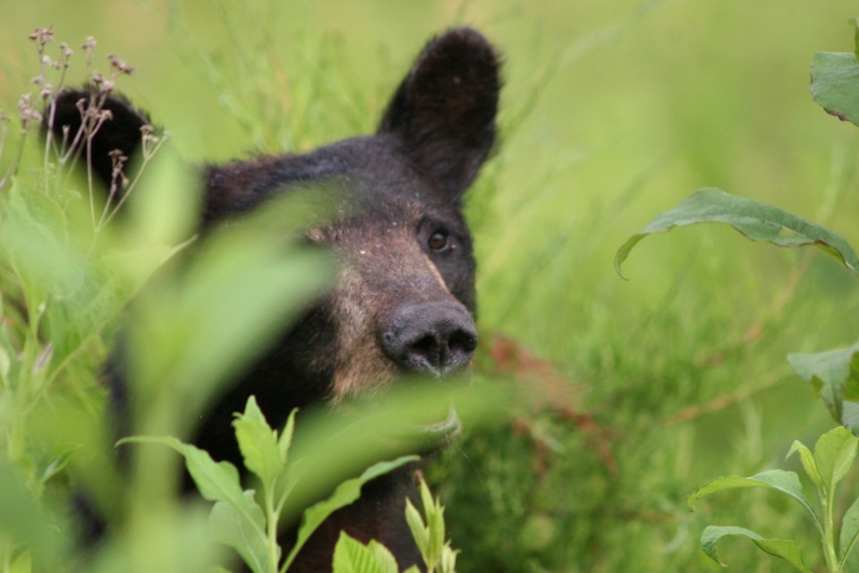
The rewards are great on this 8-mile round-trip hike in the Greenbrier section of the Park. The diligent hiker not only gets to enjoy the Ramsay Cascade falls–arguably the best waterfall in the Smokies– but also can view stands of old-growth trees which never suffered from the logger’s saw or the settler’s ax.
Summary: You have only to take this hike once to understand why it’s one of the most popular. The falls are ample reward not only for the hiker, but the artist and photographer as well. The trail starts out with a slight upgrade in the beginning, then becomes more challenging as you near the cascades. The latter portion of the trail is where you will find the old growth trees–some of which measure in record proportions. The round-trip is approximately 8 miles and can take a little over four hours, depending on whether you take children.
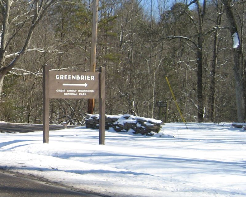
Directions: From Gatlinburg, drive east along US 321 (stop-light #3 in Gatlinburg) for approximately 6 miles. Turn right on Greenbrier Road and travel 3.1 miles along the Little Pigeon River to Greenbrier Cove. Turn left at Ramsay Prong Road and travel 1.5 miles to the parking area. The trail begins at the back of the parking area.
Your hike will start on the south side of the Middle Prong of the Little Pigeon River on the Ramsay Cascade Trail. You will cross the prong on a very long footbridge, and make your way past Ramsay Branch, which flows from Greenbrier Pinnacle on your left. At mile 1.5, the trail comes to a turnaround. The Greenbrier Pinnacle Trail turns off to the left. The Ramsay Cascade Trail continues forward and your climb becomes more steep.
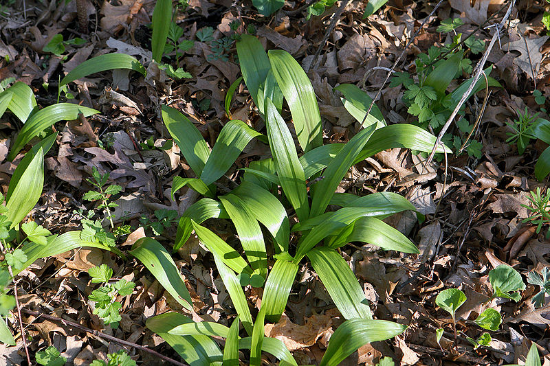
Beside the Ramsay Prong is a primitive stand of chestnut oaks, poplars, black cherries, hemlocks, and yellow birch that forms a high canopy over the trail. Some of the largest chestnut oaks in the Smokies are found along this lower section of the trail. At higher elevations the black cherries and poplars grow to near-record sizes.
Shortly after the first crossing, the trail passes through a stand of cucumber trees. These trees are particularly enjoyable in the spring when they are sporting their bright, yellow blossoms. At the 2-mile point, before the trail crosses back to the Pinnacle Lead side of the creek, the undergrowth falls away, leaving the trail flanked by a grove of tall buckeyes, hemlocks, red maples, poplars, and tall black cherry trees, from which the section gets its name–the Cherry Orchard.
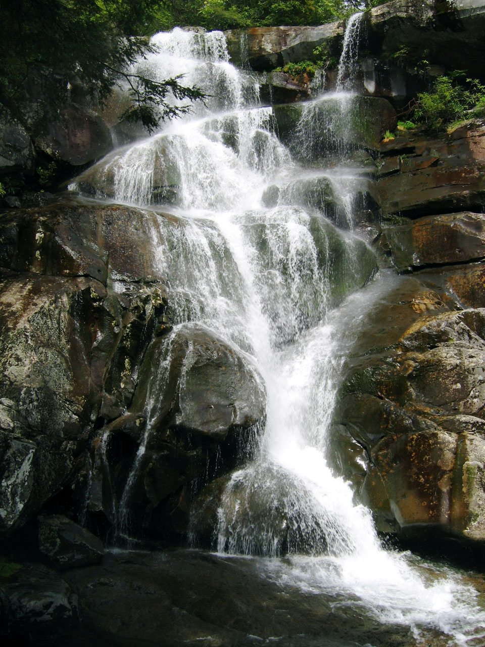
A winding passageway through huge boulders identifies the approach to Ramsay Cascades–arguably the most spectacular waterfall in the Park. Here, two streams converge to tumble nearly 100 feet over the eight stair-step ledges. It’s a marvelous place to spread out a lunch or set up the tripod and camera, or simply relax and recover from the trail.
The graded trail ends at the cascades (“Ramsay Cascades” by Gatlinburg watercolorist Vern Hippensteal at right), but more reward waits for the intrepid hiker, for approximately one-half mile above Ramsay Cascade–if you make your way through dense rhododendron–the trail approaches the creek at a memorable location known as Drinkwater Pool. Drinkwater Pool is the largest of a succession of basins on the Ramsay Prong, where the water collects in pools before continuing on to charm the visitors at the cascades. Drinkwater Pool is surrounded by ledges covered with overhanging rhododendron above which towers a stand of virgin birch. We stood in this area and imagined being the first to discover the sight. We are truly blessed to be able to enjoy such as this!
Don’t quit yet! About a half mile above Drinkwater Pool is a second cascade, which is higher and nearly as enjoyable as Ramsay Cascades. On the face of a two-hundred-foot cliff are more than a dozen small, wispy waterfalls. They catch the eye and hold it, for these falls are not aligned one after the other. Each fall has a separate ledge where the water pools before falling to the next.
For the hardiest of hikers, the Appalachian Trail waits above these falls—should you want to continue another 1.5 miles.

 Each year in
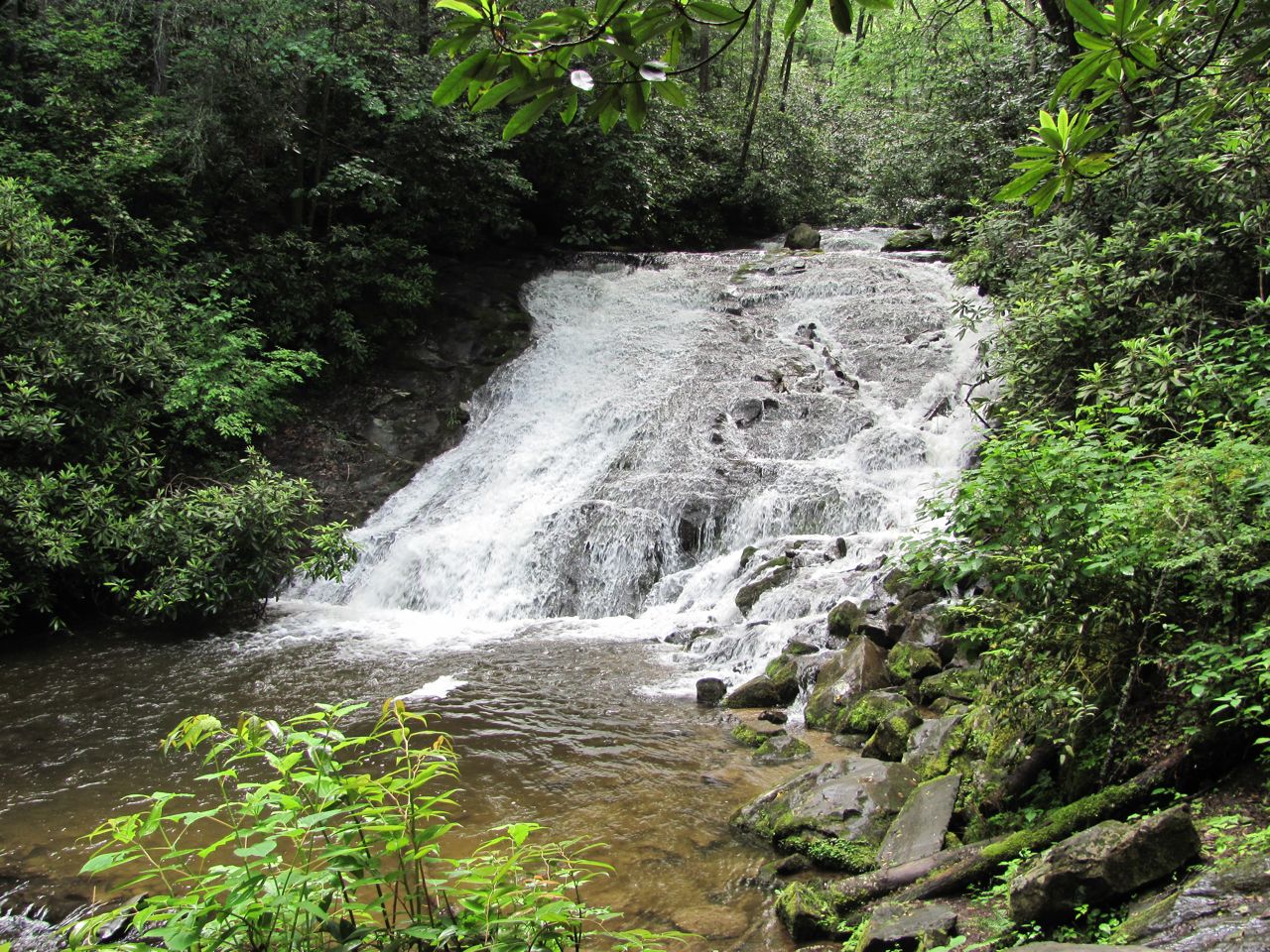
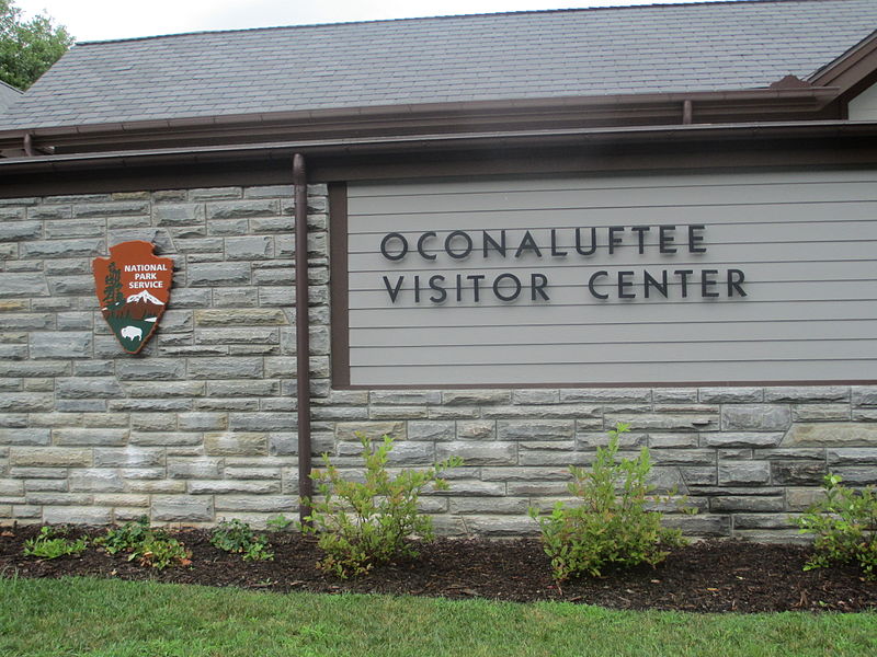
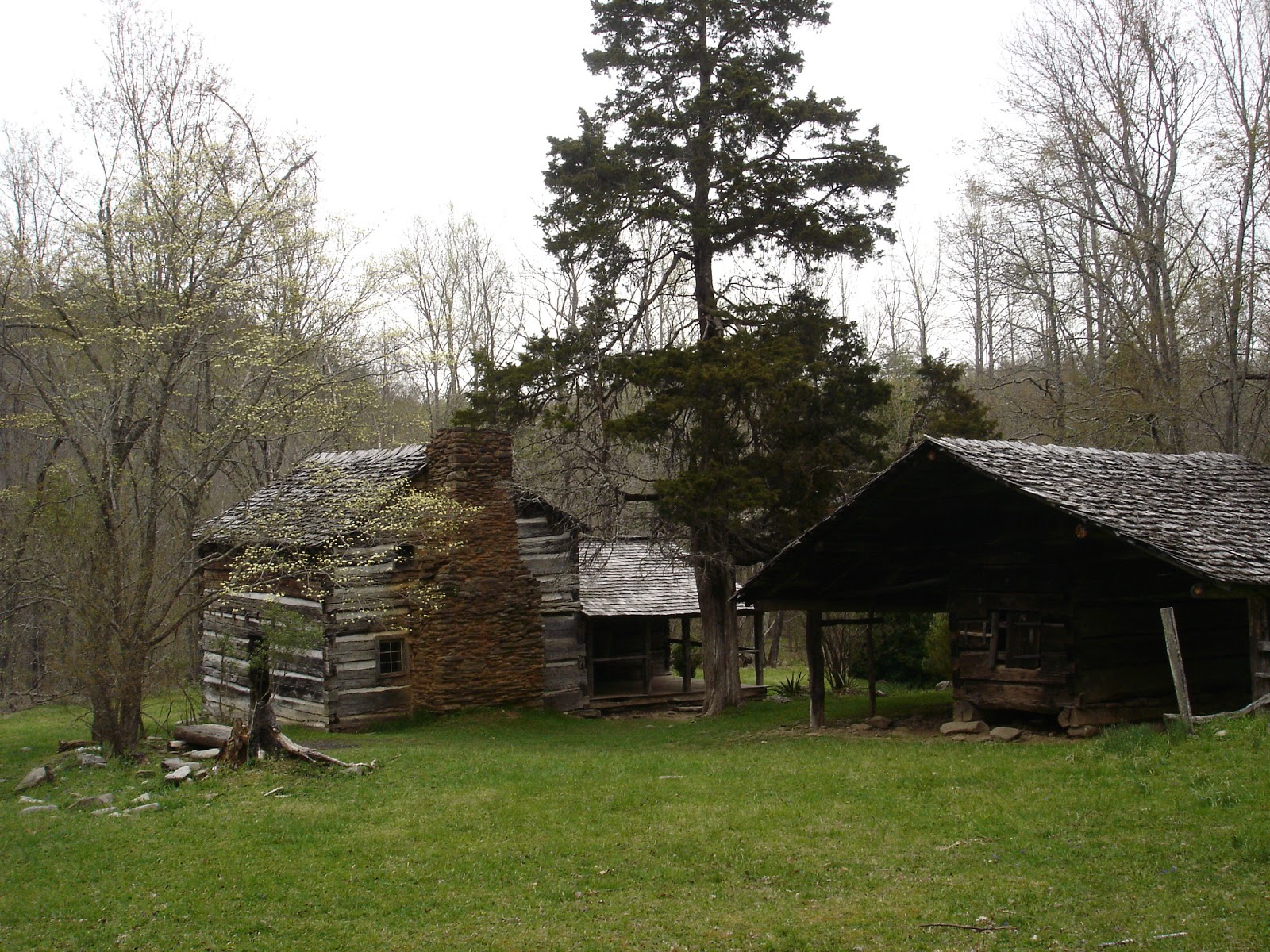
 Also, in the Oconaluftee area, there is a visitors center. Including a small museum, a mountain farm museum and access to park rangers, the visitors center at Oconaluftee allows you to plan your excursion into the national park. Talk to the rangers, make reservations for the various camping spots around the park, walk through the museum and learn more about the creation of the national park and the people that used to call this area home or maybe you want to head outside. Behind the visitors center is a replica of a small mountain farm. The early communities of the mountains lived in clusters of small farms. The people would have enough livestock and farm land to support their families during the year and have a little left over to trade with their neighbors as the bartered for the goods they needed.


 (683x1024)")