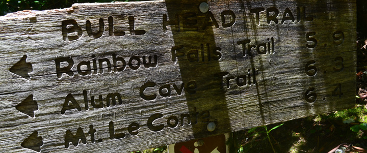
For all you locals, the Bull Head Trail is probably one you’ve heard of before, and if you’ve been to Mount LeConte might have even hiked as you made your way back to civilization.
In all, it’s a 5.9 downhill hike. We’re starting you off at the summit of Mount LeConte and traveling downward toward the Rainbow Falls Trail junction to its intersection with the Old Sugarlands Trail. For wildflowers lookers or fall color seekers, this is a perfect hiking trail and one you’re sure to come back to with the changing seasons.
Starting out, you’ll find yourself at LeConte’s West Point at the intersection with the Rainbow Falls Trail. Many choose to hike up the Rainbow Falls Trail to reach the summit of Mount LeConte and take the Bull Head Trail back down the mountain.
As mentioned this is a wonderful wildflower hike whether you decide to go during the spring or summer. Bee-balms and trout-lilies are just a few of the seasonal blooms you’re sure to notice along the way. Views are just as good, especially at points where you get to gaze down at the West Prong of the Little Pigeon River.
You come to the Pulpit at mile 3.3 of the hike – a stone cairn built by the Civilian Conservation Corps. Not only can you stand on it and look out to a majestic view, 2 or 3 people can sit on if they wish. Many a Smokies hiker have stopped to eat or take a break at this point.
From there, you’ll swing left before starting the switchbacks. This is the area known as the head of the bull – its profile seen northward. A wild buffalo bull. Talk to someone who has hiked the area over the years and they might be able to show you the whole of the bull. Balsam Point being the bull’s shoulders, the crest of Mount LeConte its body, and the Sawteeth its tail.
Magnolias, hemlocks, sugar maples meet the hiker on the way down past the Pulpit. Rock overhangs are present on this part of the trail and can provide a bit of covering during a pop-up rain storm. But be wary of these overhangs during a lightning storm. From here it’s a near straight line to the Old Sugarlands Trail.